| Picture comment | | Picture (thumbnail) |
Picture 96-2-3
Disposition in front of the Volkswagen VR6. Nice weather. |  | 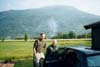 |
Picture 96-2-4
Lom and Ottavatnet. | | 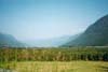 |
Picture 96-2-5
The first view of the mountains in Jotunheimen. Quite nice. | | 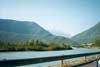 |
Picture 96-2-6
18 km of bad roads type washing board towards Spiterstulen. | | 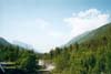 |
Picture 96-2-7
Finally towards Galdhøpiggen! |  | 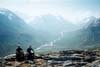 |
Picture 96-2-8
Only happy faces so far. | | 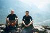 |
Picture 96-2-9
The first pile of stones (but not the last). | | 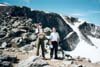 |
Picture 96-2-10
On the way down Keilhaustoppen. Only about 100m left afterwards. | | 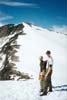 |
Picture 96-2-11
The Swedish flag finally on Norwegian ground. | | 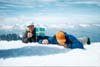 |
Picture 96-2-12
Peculiar picture! | | 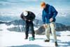 |
Picture 96-2-13
Berra looks happy regardless the thin air! | | 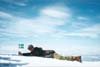 |
Picture 96-2-14
A short break before the hike back to Spiterstulen. | | 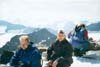 |
Picture 96-2-15
Reconnaissance break. | | 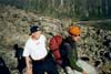 |